For those interested, the first ever running of the Pedol Cwm Pennant Horseshoe will be ran next Saturday the 15th June at 1100hrs from the Cwm Pennant Hostel. Hoping for a low key event for the first year with interest building once people appreciate the wonders of the route.
Map and race details attached.
Start:
Cwm Pennant Youth hostel 1100hrs GR: 524437
From the hostel head along the minor road as directed until reaching a farm gate at 534441. Follow an old grassy track onto marsh land and continue on to the old Cwm Pennant tramway. From here, head generally SE to E before hitting the Cwmystradllyn road at GR 551441. Follow this for 200 metres until you reach on old iron farm gate. Go through this gate and a number of other gates before reaching checkpoint 1.
Checkpoint 1: Tal y Llyn track junction. GR: 559449
From the track junction head N and NE, going through a gate and over two stiles. The second stile at GR 559449 will take you onto the flanks of Moel Hebog. NOTE – the route is marked from the start up to this point. In poor visibility navigation from here could be tough, but roughly head NNE for checkpoint 2.
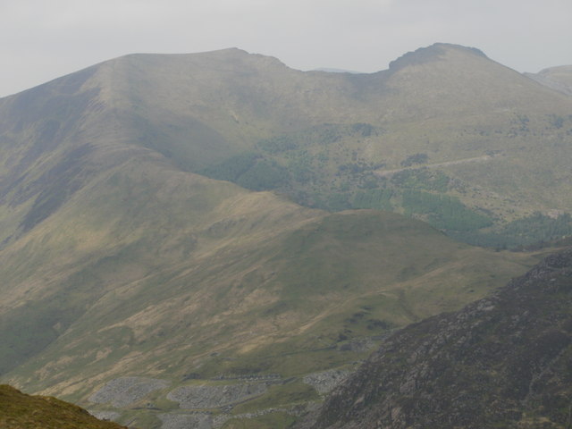
Checkpoint 2: Summit of Moel Hebog, 782metres. GR: 565469
From the summit of Hebog the route now follows most of the Paddy Buckley route (for those of your familiar with this). Head NW dropping steeply to Bwlch Meillionen, avoid veering off to the SSW or ENE. Reach the Bwlch at GR 560475. From here climb through a cleft in the rock heading NW and reach the rocky summit of Moel yr Ogof at GR 556479 and 655metres.
Checkpoint 3: Summit of Moel yr Ogof, 655metres. GR: 556479
Continue along the ridge crossing a stile at GR 555479. Continue along the ridge, skirting to the left of the rocky tors of Moel Lefn before arriving at the summit and checkpoint 3, the summit of Moel Lefn.
Checkpoint 4: Summit of Moel Lefn, 638metres, GR: 553487
From the summit of Moel Lefn head N, this section is rocky and rough so take care, especially in wet conditions. The route snakes its way through Craig Cwm Trwsgl arriving at Bwlch Cwm Trwsgl at GR 552497. Importantly here, follow the signage and don’t head NNE into the woodland! The route now veers around the eponymous Y Gyrn before arriving at checkpoint 4, Bwlch y Ddwy-elor.
Checkpoint 5: Bwlch y Ddwy-elor, 420metres, GR: 552504
This is roughly half way and there’ll be a cut off of 2.5 hrs here. This will be the first official water and refreshment point so get fuelled up. Next comes the second biggest climb of the route as you head NW towards Trum y Ddysgl. Importantly at GR 543514 you do not head NE to the summit but head SW towards Tal y Mignedd.
Checkpoint 6: Below Trum y Ddysgl, 700metres GR: 543514
The next section has one particularly dangerous section at GR 540513. On your NW side there’s a sheer drop of hundreds of feet so take care. The next section is the best running of the route but also the route highlight as you head W to the summit and enormous obelisk of Tal y Mignedd and checkpoint 5.
Checkpoint 7: Mynydd Tal-y-Mignedd, 653metres, GR: 535514
From the obelisk head SSW, at GR 534508 there’s another tricky and rough rocky descent which can be avoided with local knowledge. Again take care in wet conditions. Arrive at Bwlch Dros-bern before readying for another tough, steep and rocky climb. The route veers NNW before skirting back onto the ridge and heading for the rocky plateau of Craig Cwm Silyn. Avoid veering off to the N or S here. The next section could be tricky in low cloud but basically head SW for the trig point of Garnedd Goch, you’ll hit a wall at GR 519499. Stick with the wall which will lead you to the summit and checkpoint 6.
Checkpoint 8: Garnedd Goch, 700metres, GR: 511495.
Here comes the wildest part of the whole route as you head down Cwm Ciprwth. This Cwm has no real paths, occasionally you’ll come across a good sheep trod, especially the closer you get to the river. But basically, it’s your own line down to the gate / river crossing at GR: 520480. From here on the route will be marked, but in essence it follows a Tir Gofal path down to a restored water mill before hitting a grassy track which snakes on down to the road just beyond Ciprwth and Checkpoint 7.
Checkpoint 9: Cwm Pennant road, GR: 532469.
This will be the second main water and refreshment point, from here you have just over 3km of flat running to the finish. Follow the main road and markers to the S, avoid both left turns at GR 531458 and GR 532454. Continue along the road until GR 525446, this will be marked and you’ll cross a stile and a bridge before heading SE and S to Beudy Parc farm. Run through the farmyard, following the markers before hitting the track at GR 527442 and running the last 670 metres to the finish at the Youth Hostel.

 Reply With Quote